
Why Legal Land Descriptions Matter
Please note: this blog post is meant to be purely informational and not meant to be taken as advice
When you buy land, you’re not just buying what you see—you’re buying what’s recorded. A legal land description is how your property is officially identified in county records. It defines the exact boundaries and size of your lot, and it’s used in deeds, titles, and financing documents.
Even if you never plan to survey land yourself, knowing how to read a legal description helps you:
Verify that what you’re buying matches what’s on paper
Avoid disputes with neighbors
Understand zoning, easements, and access points
Get a clearer idea of your property’s shape and boundaries
Let’s break it down into plain English.
The 2 Main Types of Legal Land Descriptions
Most legal land descriptions in Utah fall into one of two formats:

1. Lot & Block (Subdivision Description)
Used in: Platted subdivisions or neighborhoods
Format: Refers to a specific lot and block number on a recorded subdivision map.
Example:
"Lot 12, Block 3, Sunset Ridge Subdivision, according to the official plat recorded in Book 5, Page 49 of Duchesne County records."
Easiest to understand
Usually includes road access and utility plans
Common in newer developments
2. Metes and Bounds
Used in: Rural or unplatted areas
Format: Describes a starting point and then provides compass directions and distances that trace the property boundaries.
Example:
"Beginning at a point 500 feet west of the northeast corner of Section 14, Township 2 South, Range 5 West, then South 150 feet, West 200 feet..."
More complex, but very common in rural Utah
No reliance on subdivision maps
Often used for large parcels or unique shapes
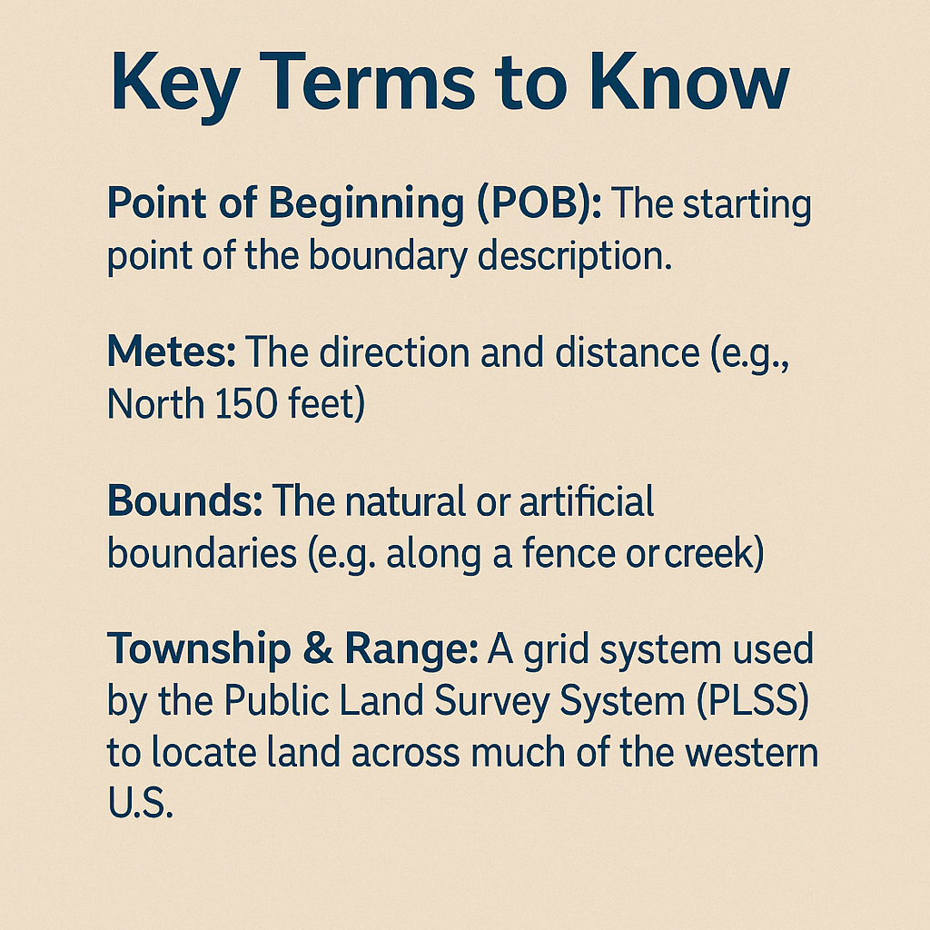
Key Terms to Know
Here are a few words you’ll see often:
Point of Beginning (POB): The starting point of the boundary description
Metes: The direction and distance (e.g., North 150 feet)
Bounds: The natural or artificial boundaries (e.g., along a fence or creek)
Township & Range: A grid system used by the Public Land Survey System (PLSS) to locate land across much of the western U.S.
Section: A 1-mile-by-1-mile square within a township, typically 640 acres
How to Visualize a Metes and Bounds Description
Reading it is one thing—understanding it is another. To make sense of it:
Look for the Point of Beginning.
This is the reference spot from which all directions and distances are measured.Follow the Directions in Order.
Compass bearings (like North 45° East) combined with distances tell you where to draw each line.Map It Out (Optional).
Some buyers sketch it by hand or plug the data into mapping software. If it sounds complicated, don’t worry—your county or title company can help.
Should You Get a Survey?
If your land is in a rural area or has no recent survey, getting one can help confirm boundaries, avoid neighbor disputes, and prepare for future construction. Surveys aren’t always required—but they’re recommended if:
You’re installing a fence or driveway
You suspect easement issues
The legal description is especially complex
Where to Find Your Legal Description
You’ll usually find the full legal land description on:
Your deed or title report
The property tax record from the county
The purchase contract or plat map
Still unsure? We’re happy to walk through it with you.

Final Thoughts: You Don’t Need a Law Degree—Just a Little Guidance
Understanding your legal land description doesn’t have to be intimidating. Whether it’s a simple lot number or a paragraph of metes and bounds, the key is knowing what it’s trying to communicate: where your land starts, ends, and how it’s officially recorded.
Need help reading your Utah land description?
👉 Contact our team of land specialists ›
👉 Explore lots with clear legal descriptions ›