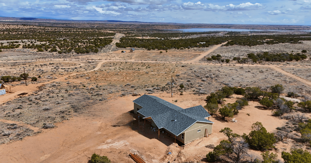
When you buy land in Utah—especially in rural areas—it’s easy to assume the lot lines are obvious. But fencing, natural markers, or even old roads don’t always match legal boundaries. Verifying your property lines helps avoid disputes, zoning issues, or building mistakes later.
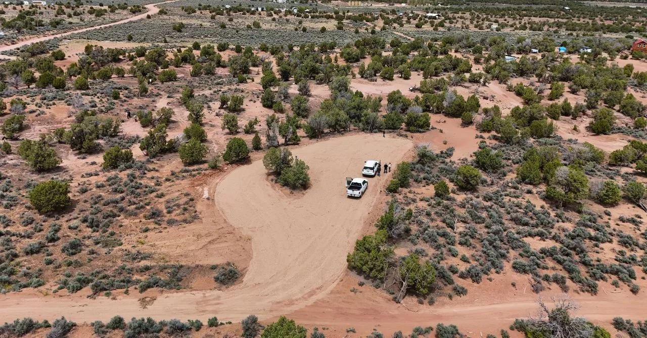
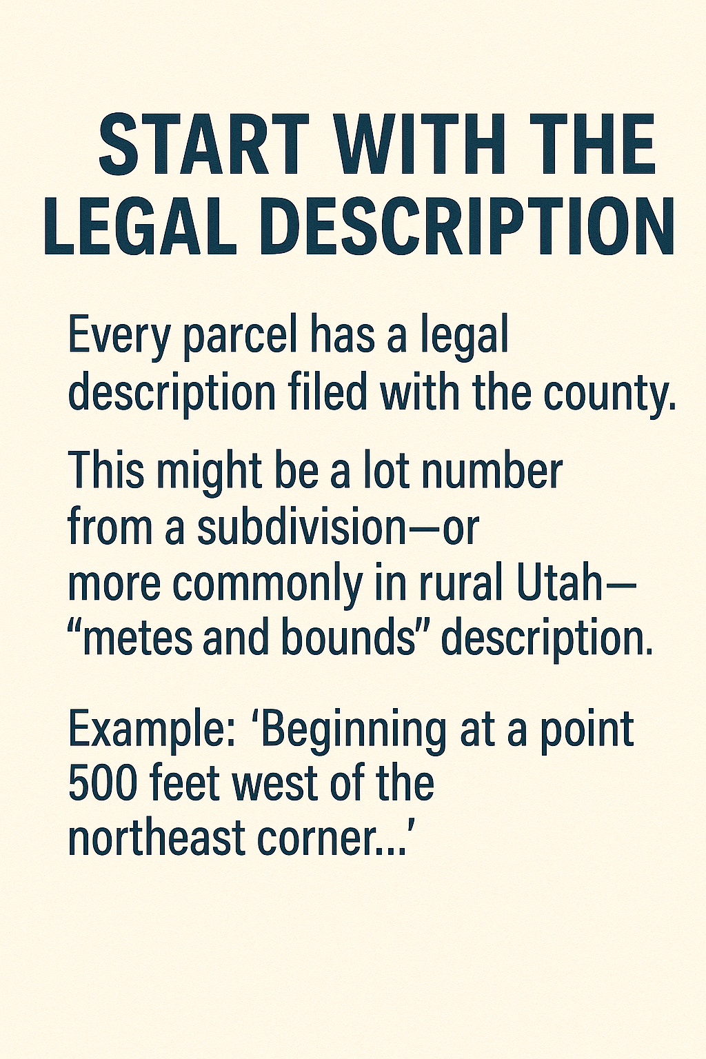
Every parcel has a legal description filed with the county. This might be a lot number from a subdivision—or more commonly in rural Utah—a “metes and bounds” description. This uses distance and compass directions to describe the property.
Example: “Beginning at a point 500 feet west of the northeast corner…”
Reading these requires a trained eye. That’s why we recommend…
A survey clearly maps out your land’s dimensions and corners. It’s especially useful if:
A surveyor will place metal pins at each corner (called “monuments”), which you can find and mark.
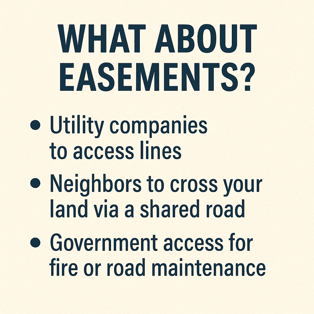
Some Utah properties—especially in unincorporated areas—include recorded easements. These allow things like:
Easements are usually permanent and tied to the land title. Knowing where they are can help you plan structures, fencing, or driveways.
It’s common in rural Utah to see fences used as boundary markers. But in many cases, these were placed informally and may not reflect the actual line. Never assume a fence defines your lot—especially if you plan to build or subdivide.
If a neighbor is using part of your land (knowingly or not), it’s best to:
Whether you're buying, selling, building, or just camping on the weekends—knowing your exact boundary lines gives you peace of mind and protects your investment.